

Orthomosaic Mapping & 3D Aerial Modeling

Orthomosaic Mapping combines hundreds of high- resolution drone photos into a single, detailed aerial map, providing updated and precise data over large areas—far surpassing the scope and resolution of a single drone shot or satellite images.

3D Aerial Modeling uses drone-captured data to create detailed three-dimensional representations of structures, landscapes, and more, offering an immersive perspective on physical spaces.
Analyze from Above with a Licensed & Insured FAA Part 107 UAV Pilot
Download our Showcase Portfolio HERE
Drone Generated 3D Model & Elevation plot of Crystal Downs Golf Course
Applications Across Industries
-
Enhance agricultural productivity through detailed crop health monitoring, precision farming techniques, and efficient resource management.
-
Assess water clarity, measure water depth, map underwater terrain, monitor shoreline changes, and manage coastal resources efficiently.
-
This technology equips civil engineering contractors with detailed elevation data, volumetric calculations, and comprehensive site surveys, significantly enhancing accuracy in construction planning, cost estimation, and project timeline optimization.
-
Utilize detailed aerial maps for habitat monitoring, environmental impact assessments, and land management to preserve and protect natural resources.
-
Measure roof areas, monitor construction progress, manage resources efficiently, and document compliance with detailed, regular aerial updates.
-
Design and maintain golf courses with precise contour mapping and vegetation health insights to ensure optimal playability and aesthetics.
-
Enhance property inspections and development plans with detailed aerial views and 3D models, aiding in decision-making and marketing.
-
Plan and maintain trails with precise topographical data, ensuring sustainable and visitor-friendly park infrastructure.
-
Enhance urban planning with tools for zoning, infrastructure placement, and road inspections.

Drone generated 3D Model of Turtle Creek Stadium

High Resolution Orthomosaic Map - Village of Northport
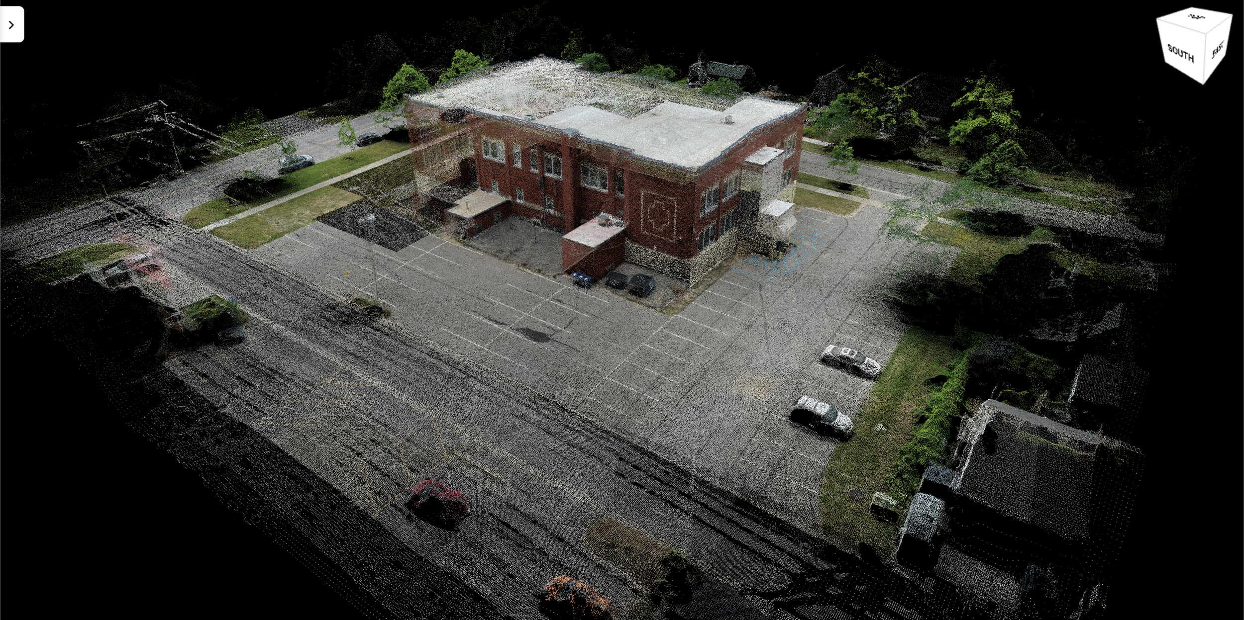
3D Point Cloud Model of Existing Structure

High Resolution Orthomosaic Map

Orthomosaic (left) vs Satellite Imagery (right) resolution comparison
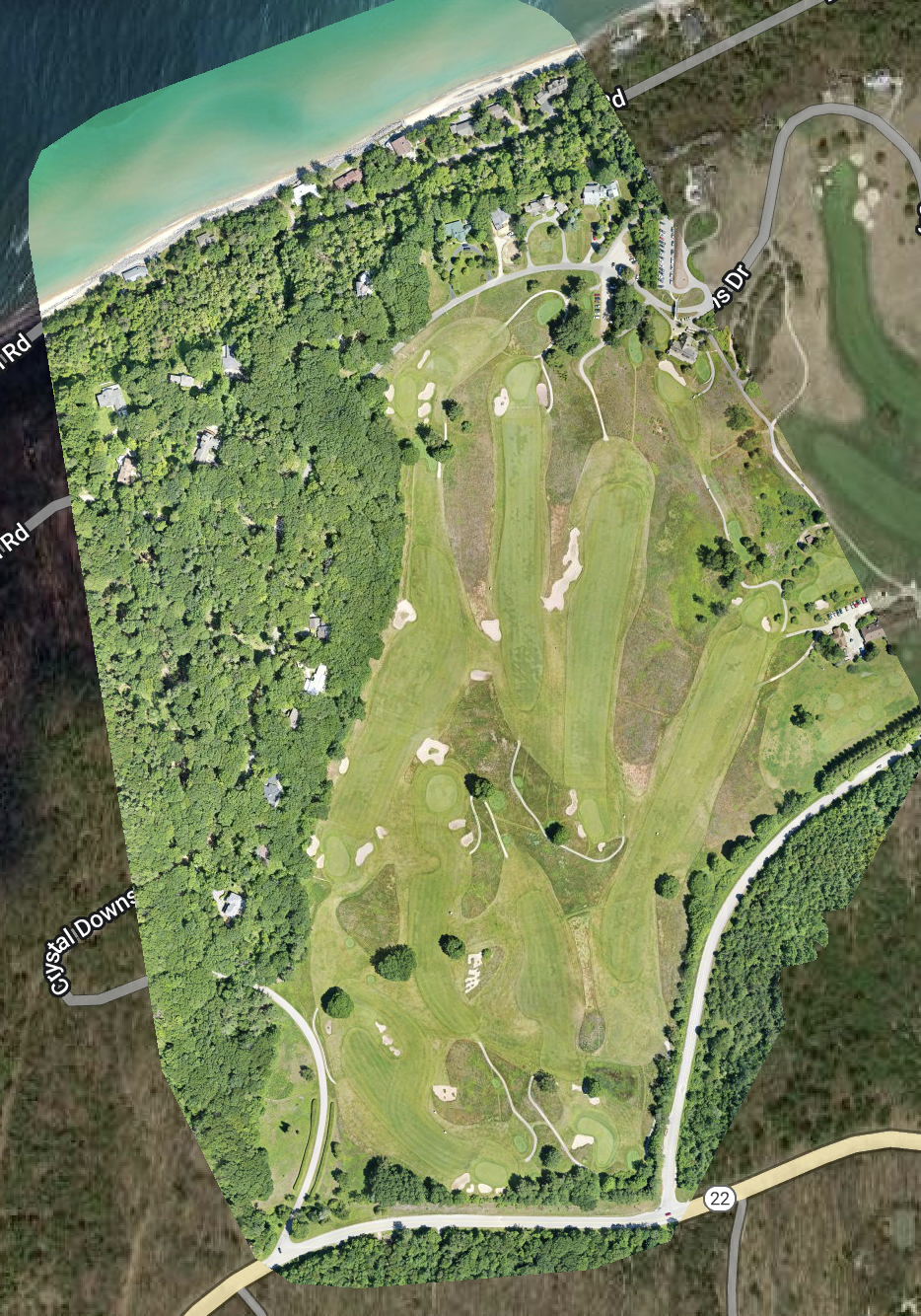
Up to Date High Resolution 109 Acre Map

High Resolution 109 Acre Elevation Plot

109 Acre 3D Digital Elevation Model

Inspection, Roof Area Analysis & Volumetric Measurements
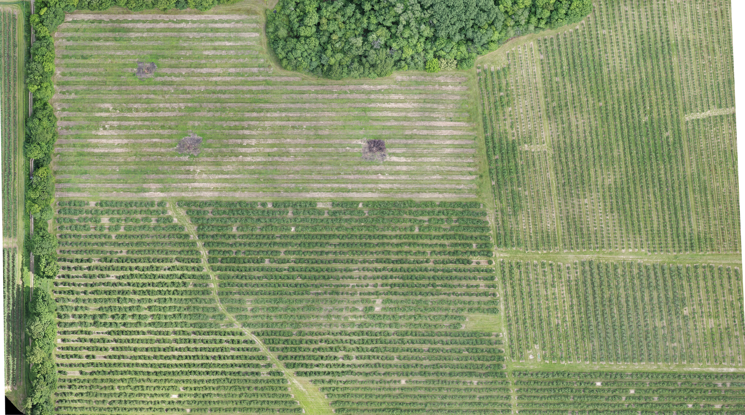
40 Acre Orthomosaic Agriculture Update

40 Acre NDVI Plant Health Analysis
